By , January 17, 2013 10:09 am

Note: This is a lengthy post, so make sure you’re sitting somewhere comfy and you might even want to grab a cup of coffee.  The two weeks that we spent hiking the Lycian Way in Turkey were such an epic journey that I really wanted to share the whole journal and experience with you.  It’s worth the read, I swear, but if you’re pressed for time at least scroll through the photos – you won’t be disappointed.  This is Part 1 of 4.  (Click here for Part 2, Part 3, or Part 4.)

Day 1
Fethiye – cliff overlooking Blue Lagoon (approx. 2 km before Ölü Deniz)
13 km (5.5 hours)

After overnighting in a Fethiye hostel, we got up at a leisurely 7:30 and indulged in the free buffet breakfast. Knowing that we had some serious miles ahead of us, we had no problems packing away the bread, olives, eggs, cheese, and veggies offered. After thirds, we grabbed our stuff and set out in search of a grocery store to stock up for the trail. We purchased enough nuts, dried fruit, chocolate, cheese and bread for a day’s worth of meals (plus an emergency supply) and went off to find the trailhead.

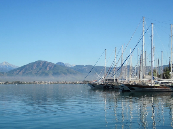
Fethiye harbour

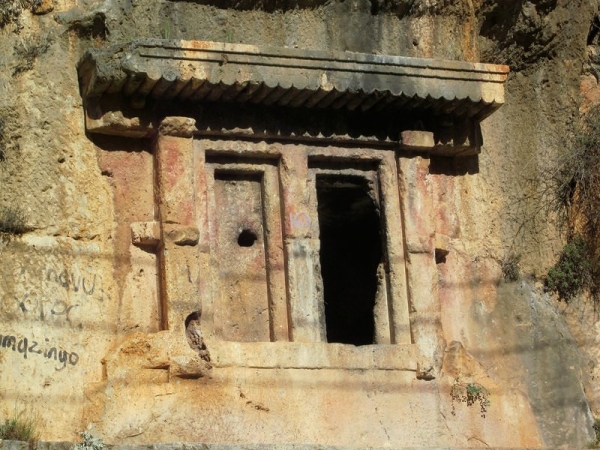
We knew that we had to climb the hill out of town, and we figured just about any path would be good enough. As we hiked up the steep road and met with the trail, we realized that we had missed the rock-cut Lycian tombs on the way out of town. We backtracked downhill along the actual trail (about 500 m) to check out the tombs, a little concerned about the significance of “losing” the trail before we had really even started.

Backtracked to see this…

View as we hiked out of Fethiye

To be honest, we had just about nothing going for us at the start… we were both sick and spewing snot, our throats were dry and scratchy from our colds, and we were sporting brand new hiking shoes. Yep… we did exactly what you should never do… we were starting the long distance trail with fresh-from-the-box, never been worn shoes. And yes, we do know better. However, we didn’t want to invest in new hiking shoes/boots until we knew for sure that the hike was going to happen. And we didn’t know that until the day before we started. So we decided they would have to get broken in the hard way. To top it all off, I had my period (I know, I know… too much information, but it’s pretty relevant here) – which meant not only did I get to deal with this monthly female gift in the wilderness, but painful cramps and menstrual migraines would be something of a guarantee for the next 3-4 days.

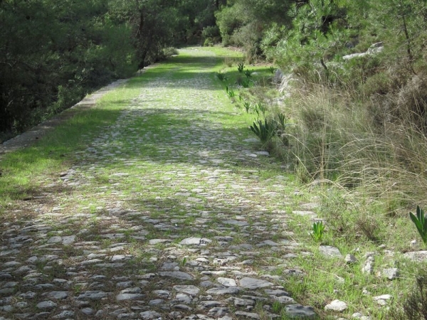
The trail started as a tough walk up a steep asphalt road and got easier as we turned onto a cobbled path through the forest. Already, we found ourselves breaking for some pre-emptive blister therapy on my heels – I had hotspots on both feet. I decided to try to beat the blisters to the punchline and put a Compeed patch on the back of each heel (a trick I learned from my time walking the Camino).

Nice path… nothing like what’s to come

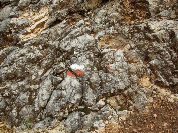
We followed the red-and-white waymarkers as we hiked along. Since the Fethiye to Ovacik stretch is not officially part of the Lycian Way, it wasn’t included on our guidebook’s map or descriptions. All of a sudden, we realized we hadn’t seen a waymarker for a while and we instinctively felt like we were heading in the wrong direction (something about finding ourselves in the midst of a construction site probably tipped us off here). We retraced our steps and found the correct way, losing only 20 minutes or so.

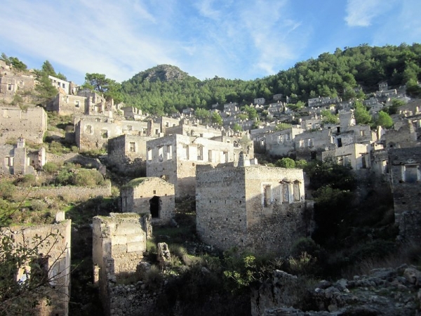
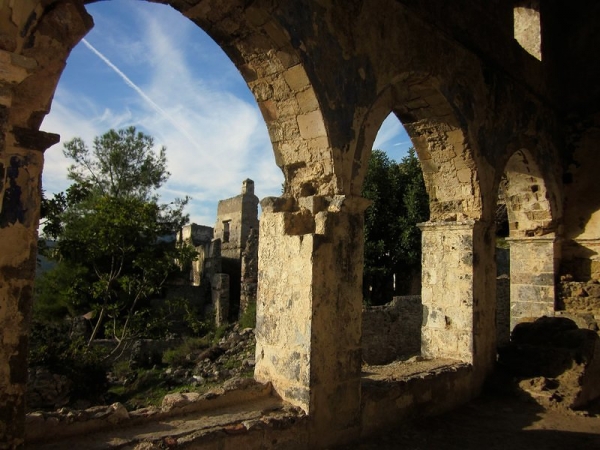
We stopped in the village of Kayaköy for a quick lunch, paid the entrance fee to pass through the ghost town of the same name (required to continue on the trail), and climbed the hill amongst the shells of abandoned homes. It was definitely worth the 5 lira (per person, about $2.50 CAD) fee.

The town was populated by Greeks until the Greek/Turkish population exchange of 1923. Now it is full of run down but mostly intact houses and churches. It was designed on the hillside so that no house fell in the shadow nor blocked the view of another. We explored the ruins, snapped a few pictures, and carried on our way.

Abandoned village

Kayaköy church

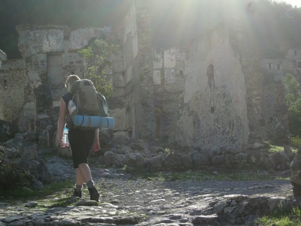
Walking through the abandoned homes

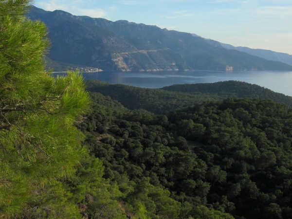
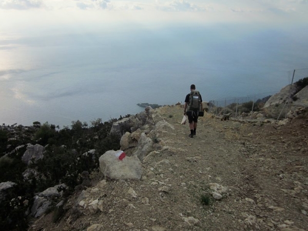
There are a few paths that lead out of Kayaköy – we chose the coastal one that passes through Ölü Deniz. We descended a rocky slope until we found a flat patch on a cliff overlooking the Mediterranean and the Blue Lagoon of Ölü Deniz.

The view from the cliff

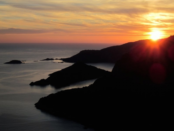
We still had enough daylight to continue, but didn’t want to pass up on the view. With slightly bruised hips and sore shoulders from our packs and a dull pounding in my head, we soaked in every drop of beauty we could until the sun set and the mosquitos chased us into our tent.

Our private clifftop sunset

It was totally dark by 5:30 (darn daylight’s saving time!), and we read by the light of our headlamps until around 7pm. We chatted away until we slowly drifted off to sleep, with Mike sharing some of the interesting facts he had just learned from reading the guidebook.

Night 1

At some point in the night, Mike woke me up to tell me we were surrounded by wild pigs. Thinking he just hadn’t fallen asleep yet and was still throwing out tidbits of information from the book, I thought nothing of it and told him “That’s nice. But I’m sleeping,” rolled over, and fell right back to sleep. What did I care that there were known to be pigs in the area we were hiking?

Sometime shortly after, I was abruptly awoken by a sudden, loud, angry snort about a metre from our tent. I sat bolt upright, heart racing and shaking. Mike’s earlier comment about being surrounded by wild pigs came rushing back as I instantly understood what his full meaning was. I felt my sleeping bag to make sure I hadn’t wet it from fright.

I sat there intently listening for more noises. I was keenly aware of the grocery bag full of food I so casually placed by my feet before bed. I tried to brainstorm objects I could throw at the boar when it inevitably came tearing at my feet, but was distracted by the image of getting repeatedly mauled by large tusks.

I racked my brain for wild boar safety advice, but, alas, the extent of my wild animal training was a bear safety pamphlet I had casually read in the Yukon (and even then, I could never remember when you want to back away from the bear, play dead, run at it (Ha! Like that would EVER happen) or make loud noises to scare it off). The pig must have entered stealth mode because I heard nothing more from it, and I slowly managed to drift off to sleep while images of tusks tearing through my flesh danced through my head.

Day 2
Cliff overlooking Blue Lagoon – Faralya
18 km (8.5 hours)

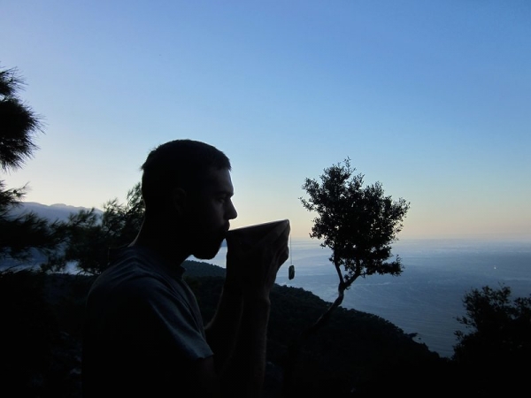
Needless to say, I felt more tired waking up on Day 2 than I did before I went to bed. I made Mike get out first and scan the area for signs of pigs. We ate a quick breakfast, treated ourselves to a well-earned coffee and tea, and packed up camp.

Early morning tea

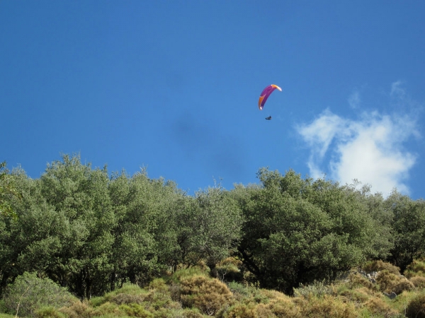
We finished the rocky descent to the town of Ölü Deniz, dodged a half dozen parasailing salesmen (they weren’t actually parasailing as they launched into their sales pitches, though that probably would have been cool enough to sell us on it), and stocked up on more food for the day.

Parasailer near Ölü Deniz

Leaving Ölü Deniz, we started hiking the steep asphalt road that leads to the actual Lycian Way trailhead, just outside of Ovacik. There was no cover (why is it that trees and highways don’t get along?) and the sun was blazing (okay… the sun wasn’t exactly blazing. But it was out. It was actually only about 21 degrees C… I see now why they don’t recommend hiking this in the intense heat of summer).

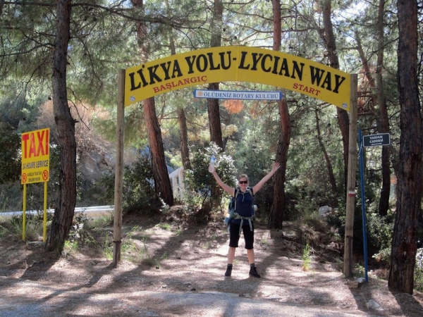
Within no time, we were pouring sweat and out of breath. Lucky for me, I had the extra pleasure of a migraine headache (likely hormone-related, though the sun sure wasn’t helping me any). I stopped halfway up the hill, head pounding and heels already getting rubbed raw right through the plastic Compeed patches , thinking “What the hell did we just get ourselves into???? We’re not even on the trail yet!” Somehow, with Mike’s continued encouragement, we got up the hill and found the official start of the trail.

Let the fun begin…

In addition to our guidebook, we were using some WikiTravel notes I had downloaded for the bit from Fethiye to the trailhead. They had proved useful thus far, so we thought we would continue to use them. They advised you to carry 5 L of water per person for this first stretch of the trail, as the walk is hard, there is little cover, and water sources are limited. We carried a total of 7.5 L between the two of us at my insistence, and Mike made a point of acknowledging fresh water source after source as we passed them struggling under the weight of our packs.

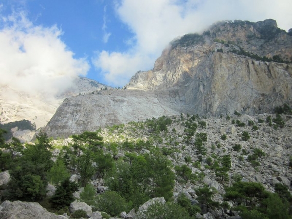
To get to Faralya, we climbed up a cliff and then the trail snaked back down the cliff face. We scrambled down the steep path, keenly aware that one unbalanced step could send us careening down the rocky slope. The guidebook mentioned that this section was “not for people that are scared of heights” and our frequent exclamations of “What the f*,” “Holy s*!” and similar attested to this fact. At one point the trail had a 60% sideways slope. We kept commenting to each other that this was no Camino.

Climbing in the cliffs

More cliffs

We reached Faralya at about 4:15 pm, our “time to find a flat spot to camp” time. We kissed the level ground after our adrenalin-filled descent and bought food at the local store (the owner was kind enough to throw in a few free tomatoes after we paid a small fortune for our can of beans, chocolate bars and bread). We set up camp in a grassy field beside the mosque. The location was a trade-off… we would be blasted awake at 5 am by the call to prayer, but had access to actual public toilets for the night. This meant we could do our business in a porcelain hole in the ground, instead of digging our own. Extra bonus: We didn’t think we needed to worry about wild boars here. Exhausted and exceptionally nauseous from the migraine I had been struggling with all day, I skipped supper and was in bed by 5.

Day 3
Faralya – threshing floor of valley past Alinca
19 km (8.25 hours)

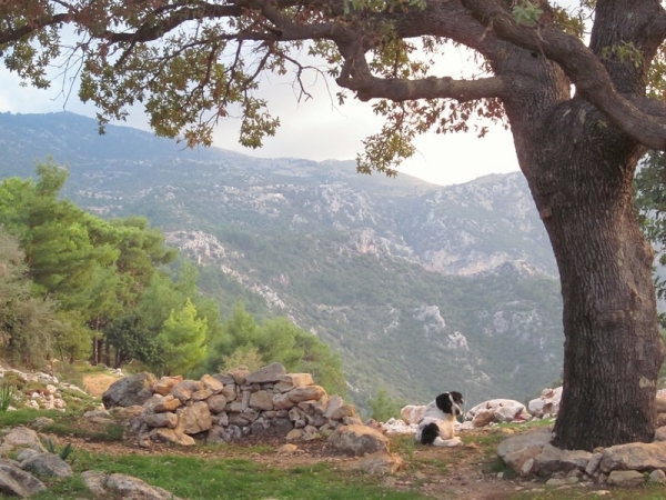
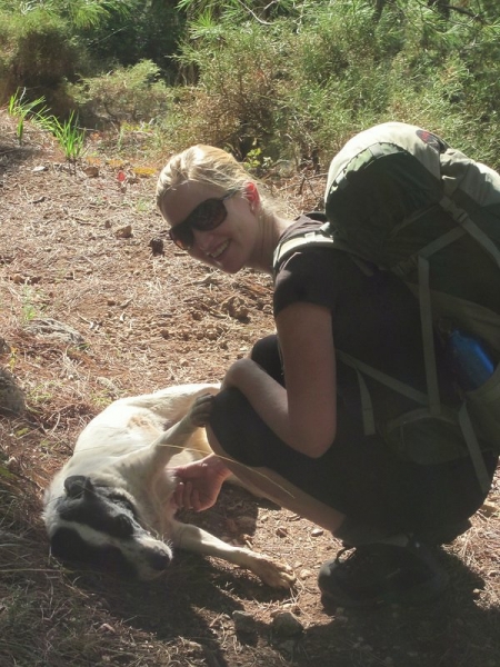
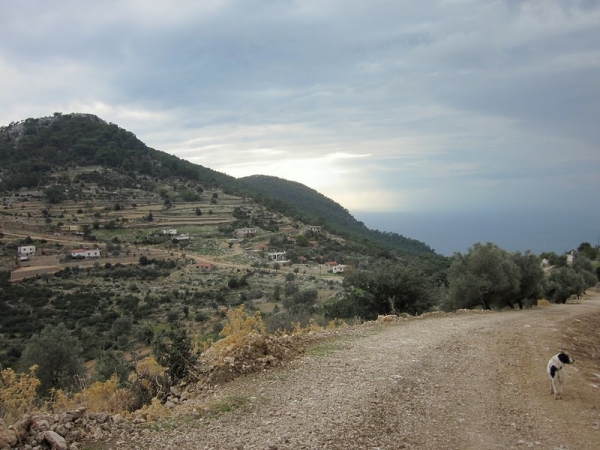
As we expected, we woke with the 5 am call to prayer and climbed out of the tent as soon as the sun started to rise. As we emerged from the mesh walls, we were greeted by a black-and-white dog wagging her tail at us. She watched us eat breakfast (hoping in vain for a few scraps, I’m sure) and pack up our tent. As soon as we had our packs on, she ran on ahead to the trail. I guess she wanted to be our guide.

Note: We had the option to descend the cliff face to the famous Butterfly Valley here in Faralya, but decided against it. The guidebook warned that the path was incredibly steep, dangerous, and not recommended so we weren’t going to try our luck (yesterday’s trail was challenging enough, and came with none of those warnings).

So the day’s hike started with yet another steep rocky climb into the cliffs. Our new canine friend followed us or, to be more accurate, constantly ran up ahead.

Whether it was last night’s migraine or the fact that I started the hike still wearing my toque (for all you non-Canadians out there, this is a winter hat), I felt like a zombie. My head was heavy and cloudy, my pack felt five times heavier than the day before, and I had to muster every ounce of strength I had to take each small step forward.

Mike was really worried about me as I had hardly eaten any breakfast (this is pretty much unheard of for me on a normal day, nevermind one where I’m about to hike 20 km through the mountains). I couldn’t bring myself to eat any more than a bite of bread, and I was carrying my half of the breakfast loaf with me. I also hadn’t had any water since about 3 pm the afternoon before and, despite knowing better, I couldn’t physically force myself to want any.

I wanted to quit. Seriously. I was done with this hike. I wasn’t having fun any more. However, in my foggy state, I didn’t realize I could actually quit by simply turning around and catching a ride out of the village that we had just left. I thought that the only way out was to get to the next village… which meant continuing to put one foot in front of the other. After about a half hour of this hell, having made incredibly slow progress, my head started to clear. I was warm enough to take off the toque, I had a few sips of water, and I managed to nibble on my bread. Within another half hour, I felt just fine and was definitely too stubborn to actually quit.

While I hiked, I found myself once again trying to recall any snippets of wild boar advice I had picked up along my travels. Surprisingly, after 28 years on this earth, I couldn’t think of one useful fact or tip. So I entertained myself by trying to come up with a few. For example, I figured that by putting on my vastly oversized rainjacket (purchased when I was a fair few pounds heavier), I was reducing my sex appeal – an effective wild boar avoidance strategy. Oh wait… that’s wild boy avoidance, not boar, isn’t it? Back to square one.

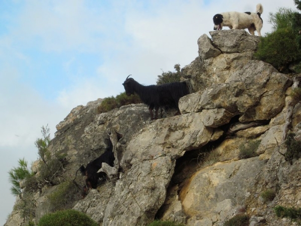
Our new canine friend stuck with us throughout the day. Before long, she had earned herself the name Rockslide. It turns out one of her most favourite activities in the world is chasing goats off cliffs. Every time she heard the tinkle of a goat bell, she was off running up the scree-filled mountainside, causing more than a few rockslides in her wake.

We forced ourselves to break for 10 minutes every hour to keep ourselves from tiring out. On one of these breaks, I was sitting on a large rock when Rockslide ran off. We heard her barking somewhere in the upper distance and before I knew it there was a goat leaping from the rocks above me, crashing down no more than two metres to my right.

This dog was downright dangerous. So we renamed her Havoc, since she seemed to cause it. As we carried on, we heard shepherds up ahead or behind cursing her as she disturbed their sheep and goats. We took solace in the fact that she wasn’t actually our dog – although she had been following us for hours, we had yet to feed or pet her (thinking that if we ignored her, she’d return home before long… how naive we were).

Rockslide (a.k.a. Havoc) chasing goats

As we passed through the village of Kabak Beach, we waved hello to a man in his garden and asked him if there was a market. Luckily, there was. And he was the owner. He walked us to it, unlocked it, and we restocked our bags.

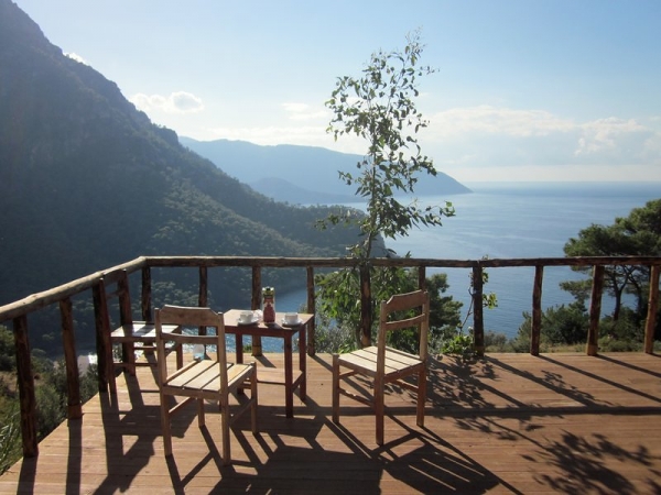
As we were leaving, a man on the street asked us if we would have a çay (pronounced chai, Turkish for tea) with him. He had a restaurant/pansion about 100 m away and he insisted that it would be free. We agreed, and he gave us directions before running up ahead to change his shirt. The place was called the Olive Garden. We sat down on a deck with beautiful views of the beach and sea below.

The deck of the Olive Garden Hotel

He served us tea and finally helped Mike understand why the olives he’d been picking on the trail tasted so awful. It took Mike about 20 olives before he abandoned his attempt to eat them off the tree. As it turns out, fresh olives are basically inedible. They need to be soaked in water for a couple of weeks, changing the water every day or two. Then they need to be soaked in salt, water, lemon juice and rosemary (optional, but it makes them taste good) before they are eaten.

He chatted with us while we sipped our tea and then disappeared inside the kitchen. We figured we had breaked long enough (about 1/2 an hour) and there were only limited hours of daylight so we should be on our way. We went to find him to thank him for his kindness, but he wouldn’t let us leave just yet. He had been making fresh-squeezed orange juice from the oranges on his trees because he knew we were sick and needed energy for our hike. He handed us his card and with absolutely no pressure, asked us to think about him next time we were in town if we needed a nice place to stay. Havoc had settled down for a nap at the Olive Garden and as soon as we picked up our packs she was back on the trail, running up in front of us.

Hiking on the trail

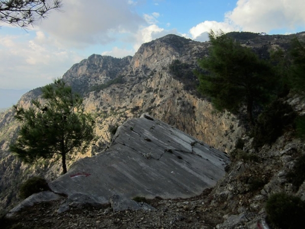
Hiking on the edge of the world

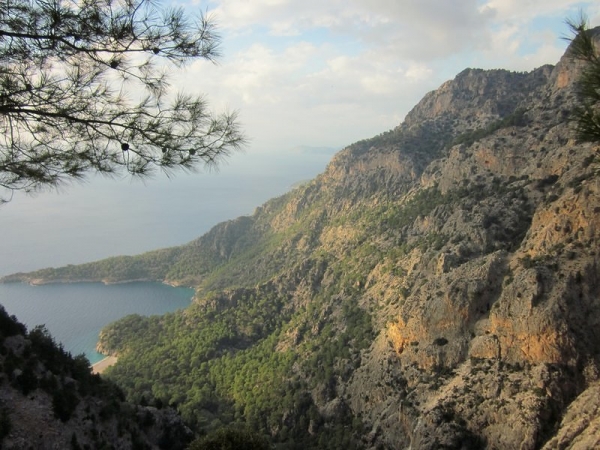
View of the Med

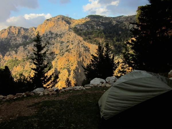
We continued hiking up through the cliffs and found ourselves a great campsite. There was a view of the cliffs on one side and terraced green pastures on the other. We couldn’t believe how beautiful it was.

Our campsite

Home for the night

Havoc, enjoying the view

In great spirits!

Day 4
Threshing floor of valley past Alinca – Gavurağili
21 km (9 hours)

We woke up to find Havoc sleeping right outside our tent. This came as no surprise, since she woke us up at least a half dozen times barking in the night. We told each other that she must have been scaring off wild pigs to keep ourselves from getting too mad at her for the noise. She seemed to be favouring a leg as she walked, which to us meant further proof that she had tussled with some pigs to protect us. As soon as we had camp packed up and on our backs, she was running up ahead on the trail. We changed her name (for the last time) to Mayhem, because it seemed more feminine than Havoc.

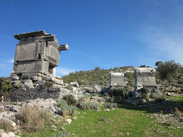
Walking by some Lycian sarcophagi

After a gorgeous morning of hiking, we passed through the village of Sidyma. Near the mosque, there was a green open space with none other than a homemade couch. With cushions and everything. We couldn’t believe our luck… we were right on schedule for a break, so we peeled off our boots and got comfy.

Sidyma rest stop

Just as we settled in, an older woman walking by greeted us and invited us to her place for çay. We agreed, and somewhat reluctantly left the couch, replaced our boots, and followed her. She sat us on her porch and disappeared inside. Her daughter came out and used the opportunity to practice her English and find out where we’re from. We practised our very poor Turkish and chatted with her.

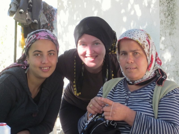
After a surprisingly long time, her mom came out with the tea (I say surprisingly because generally everyone has tea hot and ready to go on a burner.) Then we realized why it took so long. The tea was followed by a plate of hot and fresh burek. What a nice treat! She and her daughter joined us for tea, and she sat embroidering some head scarfs while we chatted. Mostly, she seemed content sitting in silence, happy to just have us there. She wrapped one of the scarves around my head and told me I was a proper Turkish woman now. We offered to pay something for the tea and burek, but she refused.

“Now you’re a proper Turkish girl”

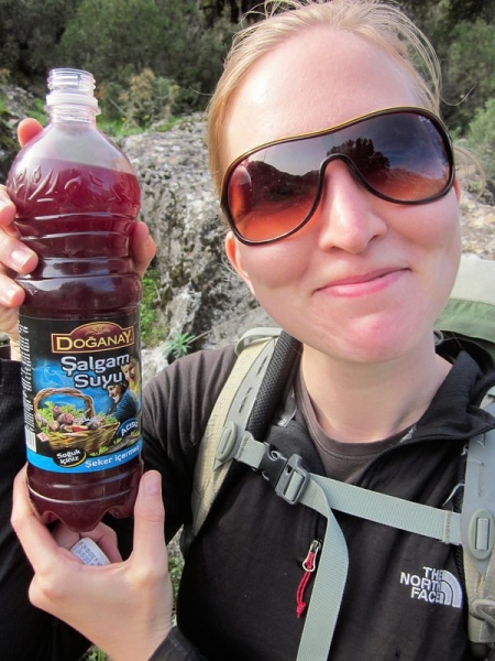
After Sidyma, we got a little lost but quickly found the trail. We caved in and shared a half loaf of bread with Mayhem. She had been with us for over a day and a half, hiking probably twice as far as us (with all her running ahead and goat adventures) and hadn’t had anything to eat. We still expected her to turn back soon, but we weren’t heartless… at least it would take the edge off her hunger. We bought ourselves some fermented black carrot juice to try, but ended up pouring it out in a pasture… it’s probably the nastiest drink I’ve encountered on my travels (Guatemalan OJ with raw egg included).

If you can’t beat ’em, join ’em – Mayhem didn’t seem to be going anywhere

Seemed like a good idea at the time

The day was full of steep, narrow trails on loose rocks. During one of the breaks, I peeled off my socks to find my first official blister. The skin on my heels was basically shredded – the Compeed long gone and the blisters waaay past being able to thread them. These new boots were sure ravaging my feet quickly.

Fields

Um…wow

Nearing the end of the day

We spent a long day walking and decided to end at a Pansion in Gavurağili. It was time to get some laundry done, so we splurged on a room. Wet-wipe baths were getting kind of old as well, so we took a nice long hot shower to refresh ourselves. The place was called Candan’s Garden and while the owners spoke nearly no English, they were incredibly friendly and helpful. For 70 lira, we got a private room, hot shower, laundry, supper, and breakfast. Mayhem was locked out of the compound when we entered the gate. We figured she’d probably want to head home anyways.

We had a delicious supper of eggplant, potatoes and peppers in yogurt and oil (with lemon and sumak), salad, bread, and pomegranates. I tried to eat as much as I could because Mike was concerned I wasn’t eating enough. He was right… the weight was falling off me, but I was having a hard time consuming enough calories in a day before my stomach filled up.

During the  meal, we were questioned about the dog. They asked if she was from Faralya. Surprised that they knew this, we told them she was. They laughed and said that this was the sixth time they’ve seen her follow hikers from there. Guess we weren’t so special after all.

We stayed up reading later than we could manage in a cold, dark tent (’til almost 10 pm!). We had the luxury of electric lights and enjoyed every moment of comfort and luxury that the bed afforded us.

This is Part 1 of 4.  Click here for Part 2, Part 3, or Part 4.
By , January 14, 2013 10:24 am

When we arrived in Turkey, we fully intended to hike the entire 500 km Lycian Way from Fethiye to Antalya. We, in typical Traveled Earth fashion, arrived wholly unprepared – without the proper gear, without a guidebook or maps, without adequate knowledge of the terrain, and without a clear idea of what the weather would be like.  So we had a little work to do before we could start walking.
Gear & Guidebook

We spent our first week in Istanbul and, while we were there, we made it our mission to get ourselves ready for the trek. We were planning to violate our budget six ways to Sunday by purchasing new hiking shoes (the Camino had all but worn our old ones out), a tent, sleeping bags and sleeping mats, but didn’t want to fork over any cash until we had the guidebook in hand.

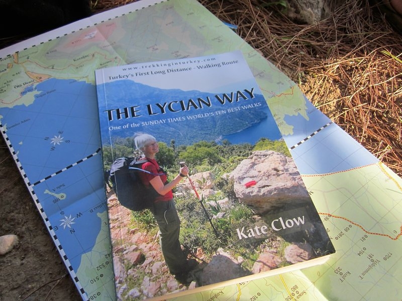
We set out to find a copy of Kate Clow’s guidebook (she created the trail). We went to every outdoor store and bookstore we could find, but couldn’t track down a copy in English. There were lots in Turkish, but this didn’t really help us. Eventually, we decided to contact Kate through the Lycian Way website and inquire on how to go about obtaining a copy.

When I sent the email, I had no idea it would be Kate that would actually receive it. She assured me that she had plenty of English copies available at her office in Antalya. I had mentioned that we needed to know as soon as possible because we didn’t want to purchase any gear before we knew we could find the book. She replied that she had plenty of gear that we could borrow if we wanted. Jackpot! At the time, she was out of the country, promoting her new Culture Routes in Turkey Society, but she passed on the contact information of Hüseyin, one of her employees. We arranged to meet Hüseyin in Antalya, where he would be able to sell us a copy of the book, lend us Kate’s gear, store our computers and other things we didn’t want to carry for the duration of our hike, and answer any other questions we had.

As we wrapped up our time in Istanbul, one of our new friends (Trevor, an Irish guy that had just cycled from Ireland to Istanbul and was waiting for a flight to Nepal) offered us his spare camp stove.  We were planning to live off cold foods, but the dream of hot coffee and tea in the morning led us to take it.

It looked like the hike was actually going to happen and we were stoked that we could cut down on the gear expenses. After spending five days in beautiful Cappadocia, we caught a night bus to Antalya. Hüseyin was kind enough to meet us on the Sunday afternoon that we arrived, where he took us to Kate’s house to assess the gear situation. In the end, we borrowed her lightweight two-person tent, one sleeping bag, two sleeping mats, a pair of rain pants, and water bottles. Hüseyin actually apologized that there weren’t two sleeping bags! We couldn’t believe their kindness and generosity… now we only needed to buy a single sleeping bag and new shoes. Score!

We packaged up all the crap we carry around that we didn’t want to lug up the mountains (laptops, SLR camera, extra clothes, toiletries, and all that jazz) and left them in Kate’s house. Antalya was actually the end point of the trail, so we could just catch a bus to the start point in Fethiye and hike back to our stuff.

Early the next morning, we set out to buy the gear. We easily found an outdoor shop with a sleeping bag and hiking shoes & boots, but they didn’t have any footwear in Mike’s size. They phoned a couple other stores and still came up empty handed. This would be a deal breaker. Mike’s shoes were old when we left home, and after 900 km walking through northern Spain, they were full of holes, treadless and talking.  He needed new shoes.  The guy at the shop suggested another store that he couldn’t phone and would be an expensive cab ride to get to. There was no guarantee they would have Size 13 shoes either. Discouraged, we left the store and debated what to do. We passed a Nike store and decided to poke our head in, in the off chance they would have something appropriate. As it turns out, they had exactly one pair of size 13 men’s shoes – a pair of Gortex hiking shoes… score again!

We returned to the outdoor shop, bought a sleeping bag, some stove fuel, and a few pairs of hiking socks for good measure. I picked out a pair of men’s hiking boots (they laughed when I asked for women’s size 10 and told me to forget it and look at the guy’s stuff). Usually men’s shoes are too wide for my feet, but these ones fit like a glove. I had wanted more versatile shoes, but with the great discount they offered us, the boots were actually cheaper. Later, as I hiked the uneven, rocky trails, I was thrilled I had boots – they saved me a sprained ankle on more than one occasion.

The elusive guidebook

What we carried: All our gear had to fit in our 38 L packs, so we kept things as minimal as possible while keeping in mind that laundry facilities were not available on a daily basis. We each had three shirts, a pair of pants, a pair of shorts/capris, five pairs of underwear, five pairs of SmartWool socks, rain jackets, rain pants (Ashley only), a wool sweater, a fleece jacket, long underwear, flip flops, a toque, and a pair of gloves. For toiletries, we carried a small bottle of shampoo, contact lens solution, sunscreen, and wet wipes. We each had a sleeping bag, silk sleeping bag liner, and a sleeping mat. There was also the tent, the stove, two lighters, a first aid kit with plenty of headache meds, a compass, our headlamps with spare batteries, our Kindles, our point-and-shoot camera and charger, spare memory cards, a cell phone with Turkish SIM, our iPhone with charge, the guidebook and map, and a Turkish phrasebook (in retrospect, I wouldn’t recommend the phrasebook – take the time to write your own phrasebook on a piece of paper, including things like “I’m Canadian”, “Where is the market?”, “I am a teacher”, “I want a room”, “laundry”, “bread”, and any other bits you may want to share when you have a tea with the local villagers or need to book a room or buy supplies.  It will be a lot lighter than a book and easier to find the phrase you’re looking for).

The Terrain

Our next four posts will be our journal from the trail, but I thought an overview would be nice for this introduction.

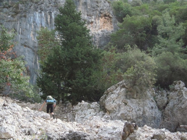
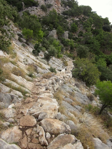
Before we started, we were using Camino walking speeds to calculate how long the trail should take. But, as we learned, the Lycian Way is nothing like the Camino de Santiago. On the Camino, we consistently walked 5 km/hour, even when ascending mountains. This is not the case on the Lycian Way. The Camino is a walking path, while the Lycian Way is a true hiking trail. In many places it is steep, narrow, poorly defined, rocky and uneven. Nothing like the wide, well-groomed paths of the Camino. We spent most of the Lycian Way looking at our feet (good thing we had shiny new shoes to admire!) – the trail requires constant attention to keep from tripping, slipping, or stubbing your toe.

Because so much of the Camino was asphalt, concrete, or gravel roads, it left us with aching feet and leg muscles. The Lycian Way trail was much steeper and more technical, and required longer days of walking, but hardly gave us muscle aches at all.

With the camping gear we took, we were carrying more weight than on the Camino so breaks were more crucial. We took a 10 minute break every hour, whether we felt like we needed it or not.

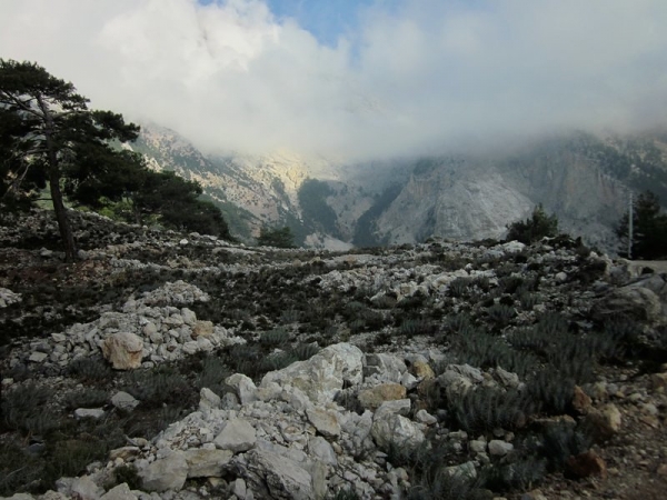
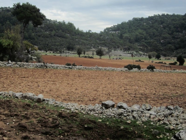
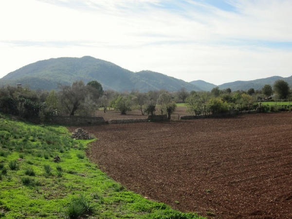
The terrain includes high pastures, fields, yaylas, steep rocky cliffs, seaside villages, mountain summits, olive groves and historic ruins.  Pants were essential, as there were several places where sharp, thorny shrubs encroached over the trail.

Pretty, but painful

The Weather

The weather was our limiting factor on the trail. It is recommended that you hike the Lycian Way between February – June or September – November. July and August are way too hot, and December & January too wet and cold.

We started in mid-November and planned to walk until it got too cold for us. We were hoping to finish the trail. By the end of November, however, we decided the nights in the mountains were just too cold for us to continue with the gear we had. With proper equipment or by staying in pansions instead of camping, we could have kept going because daytime temperatures were fine. But with near freezing temperatures after the sun went down and our summer mesh walled tent and sleeping bags rated for 10ºC, we called it quits after 200 km on the trail.

We really enjoyed the peace and solitude of camping along the trail, and didn’t want to sacrifice that part of the experience by staying in pansions just to keep going. We were also approaching some mountain ranges that we were ill-equipped for. With the possibility of snowstorms in December that could bury the waymarkers and without topographical maps or a GPS, we didn’t want to risk hiking at these elevations.

Rather, we hope to come back someday and finish what we started.  Here’s a few photos to give you a taste of what we saw…

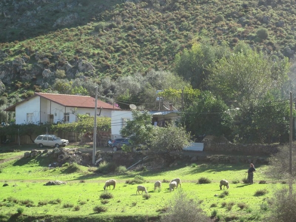
Passing a field

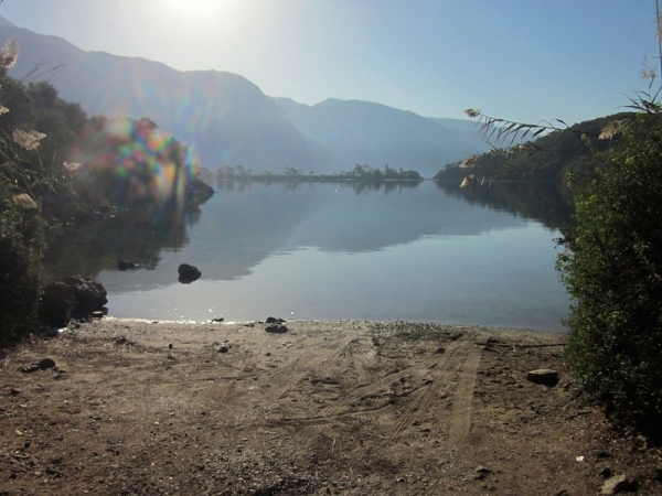
Not too shabby of a beach

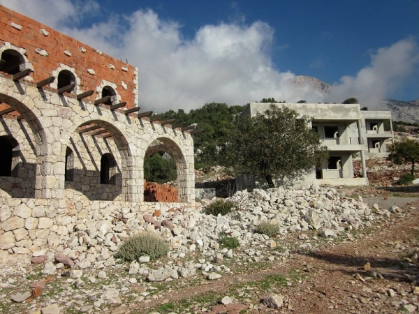
Not quite a tourist resort

Just before Faralya

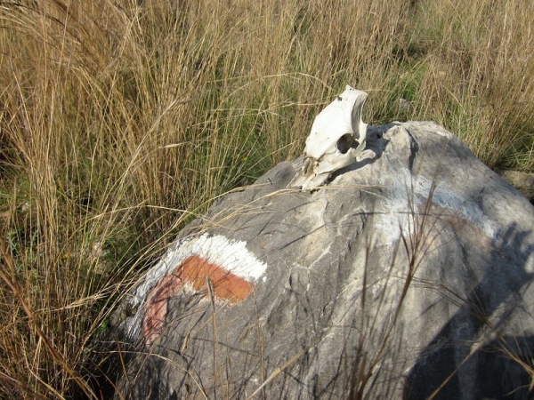
Waymarker – you have no idea how happy we were to see each one of these

Stupendous view

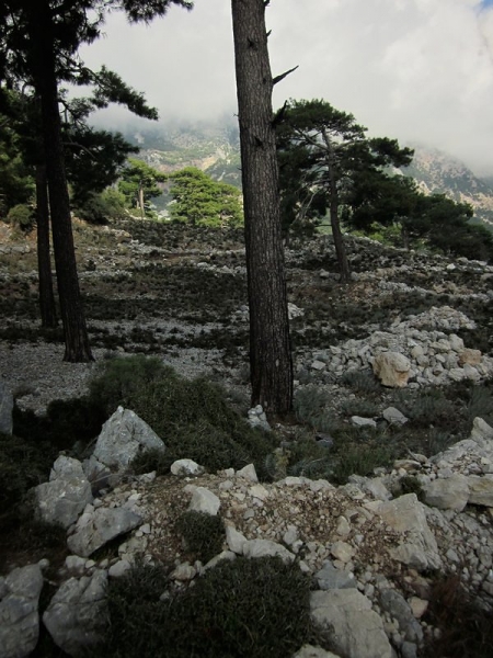
Typical trail

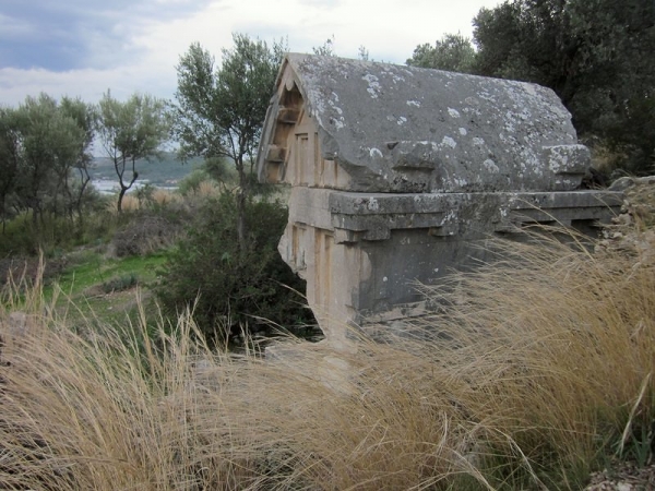
Sarcophagus at Xanthos ruins

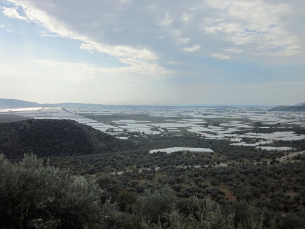
A sea of greenhouses

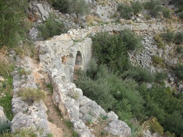
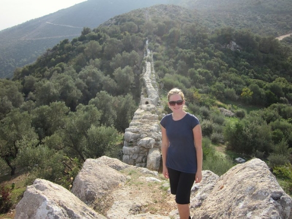
Aqueduct that doubles as the trail

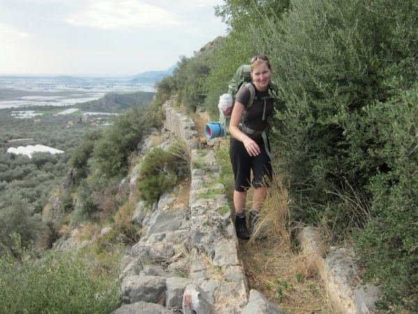
Dodging some overgrowth

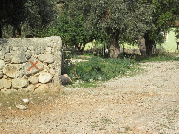
Waymarker indicating “you’re going the wrong way” – sometimes in the absence of the red & white swatches, these were all we had to go by

A little ominous, no?

Delikkemer

Patara

By , January 9, 2013 9:06 am

Shhh…. don’t tell Mike about this post! He doesn’t know I’m doing this! Typically, we create a list of posts to write, divvy out the author roles, and then edit each other’s work before publishing. This post didn’t make the list. Nor did I show Mike before I hit the “publish” button. This time I’m flying solo, under the radar if you will.

Why? If you’re a regular reader and a keen observer, you may have noticed that my posts are typically loaded with way more photos than Mike’s. Mike tries to stick me with a “5 photos per post” rule, but five is just never enough for me! This blog isn’t just for you – the reader – it’s also for me…. it’s my stories, my memories, and my photos – essentially my journal. And I want to include all the best photos I can – for my own selfish reasons and because I want to share them with the world. So I make it a rule to break his rule.

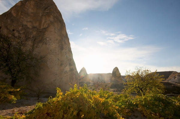
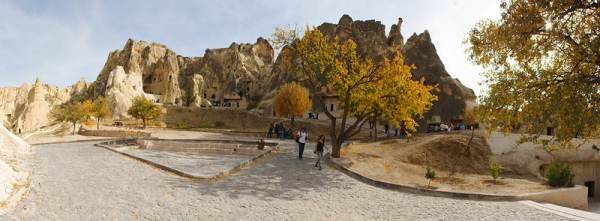
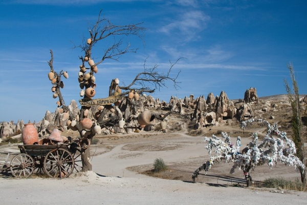
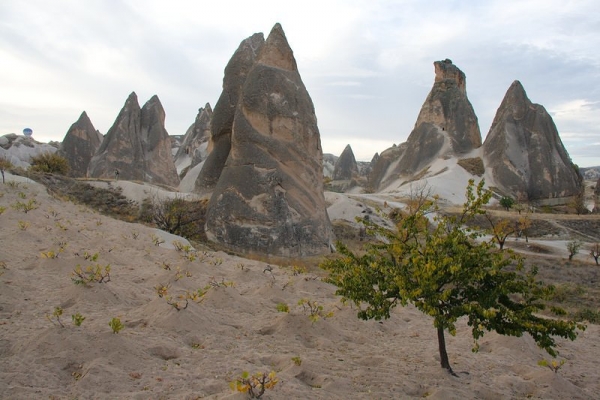
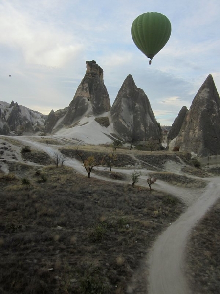
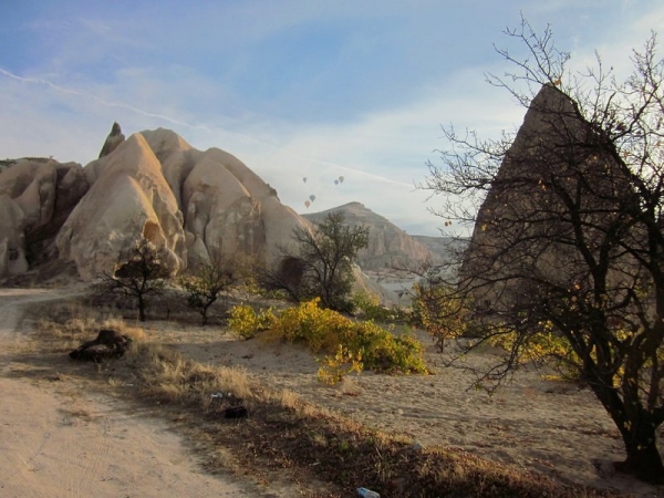
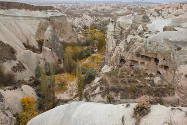
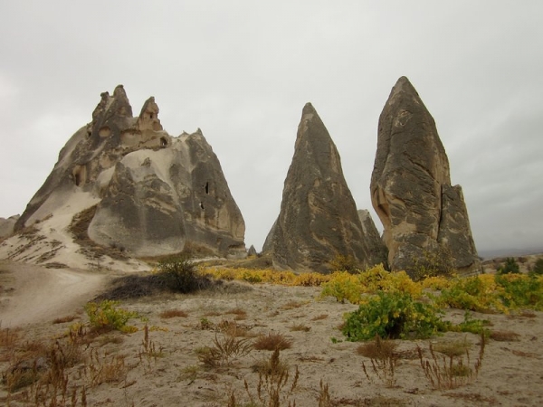
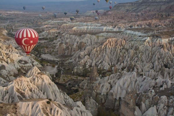
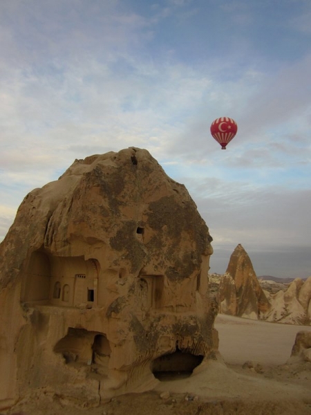
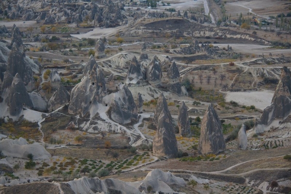
This post, in particular, had to be created – even if Mike wouldn’t authorize it. As I’ve mentioned before, Cappadocia is one of my favourite places on earth. I’ve never seen anything else like it and it’s beauty repeatedly took my breath away. We just couldn’t fit all of our amazing photos into the last three story posts, so here we are. With another photo post. I tried to limit myself to ten photos (like I said, five is never enough!), but you’ll notice there’s just a few more. Because I think they need to be shared. Hope you enjoy.


 For even more Cappadocia photos, check out our photo album.


By , January 7, 2013 6:44 am

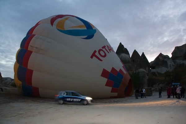
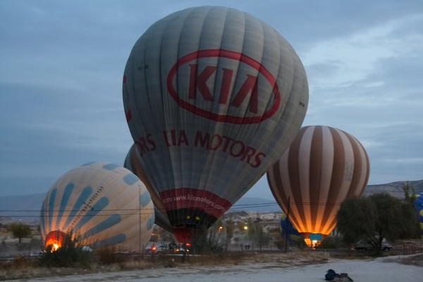
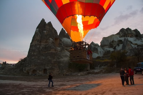
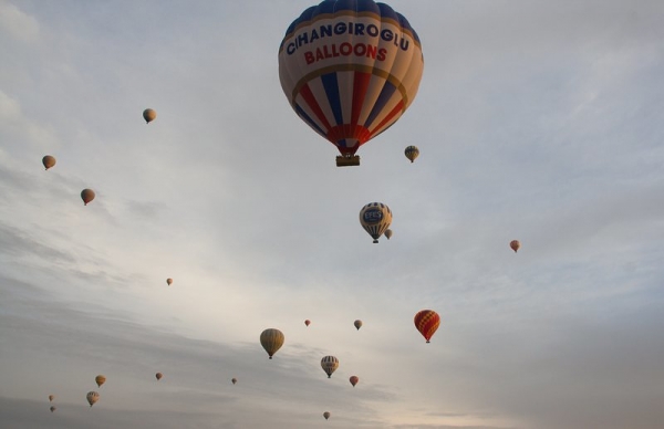
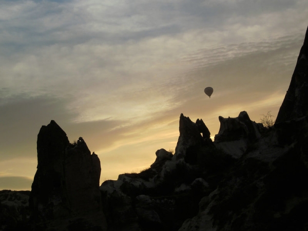
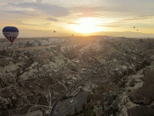
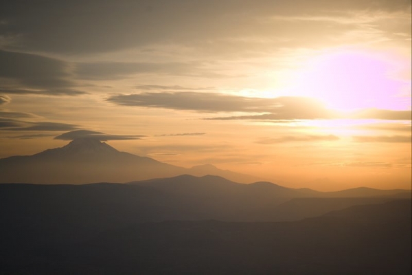
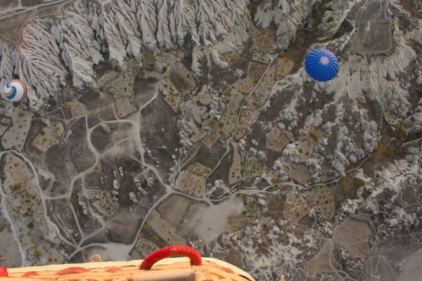
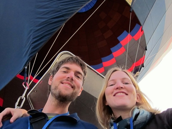
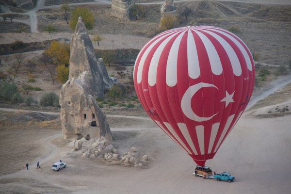
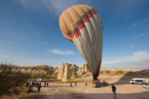
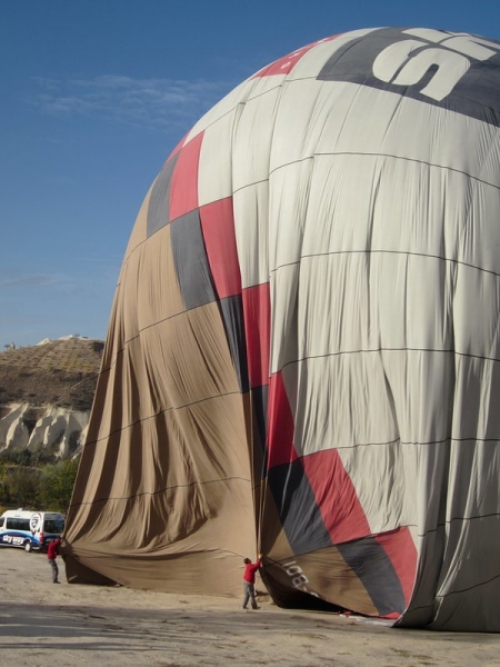
With our 10-year anniversary fast approaching, we decided to celebrate with a huge splurge on a sunrise hot air balloon ride in Göreme, Cappadocia.  At 100 Euros (~$130 CAD) per person for an hour-long flight, it made for the single most expensive day of our travels (not counting international flights or the day we bought our house, that is).  Even for frugal travelers like ourselves, it was honestly worth every single penny.  It’s something I’ve always wanted to do and, for me, ranks as one of the best experiences of our journey.

I’ll let the pictures speak for themselves:


By , December 29, 2012 12:49 pm

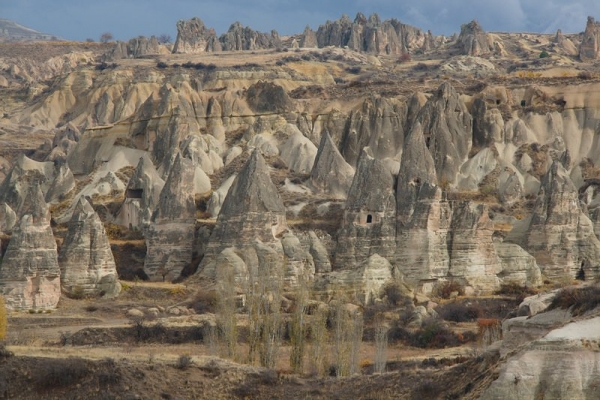
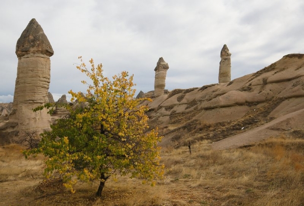
Cappadocia (pronounced Kapadokya) has long been on our bucket list.  A land of fairy chimneys, rock monasteries, and underground cities, it captured my interest and imagination the first time I saw pictures of it.  It is located in Central Anatolia in Turkey, and it was our next stop after Istanbul.  We steeled our nerves and caught our second European night bus for 60 Turkish lira per person (including a shuttle from our hostel to the Istanbul bus station) to the backpacker-friendly town of Göreme, our stunning home base for exploring the Cappadocia area.

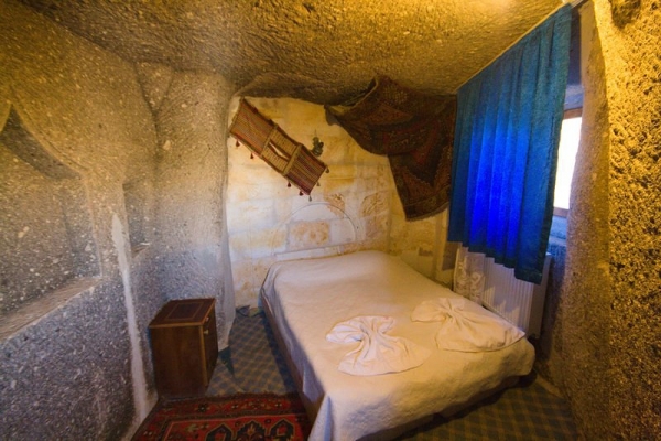
Our gorgeous cave room in Göreme

While our plan was to explore the region on our own, we decided to take the ever-popular “green tour” to see some of the more remote attractions in southern Cappadocia.  Typically, we try to avoid guided tours like the plague since they so often mean high price tags, large groups, being rushed through activities, and too little time.  However, we reasoned that this tour would be the easiest way to see some of the harder-to-get-to attractions in the area. You can book this tour through your hostel (which is what we did) or through any of the countless tourist agencies littering the streets.  We paid 80 lira per person.

So… what did this get us?

History

The rocks of Cappadocia have felt the feet of many cultures… the Phrygians, Assyrians, Hittites, Persians, Greeks, Romans, Byzantines, Seljuks, and Turks to name a few.

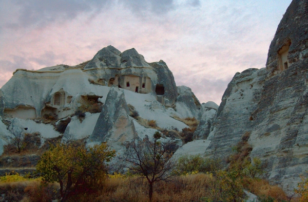
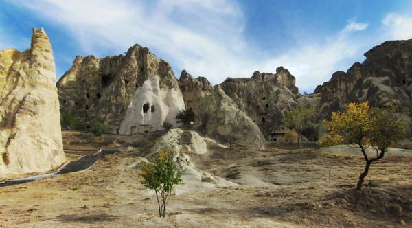
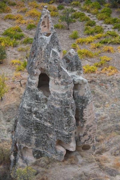
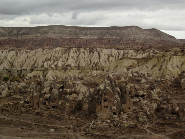
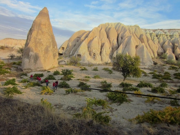
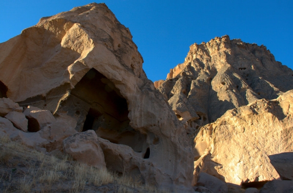
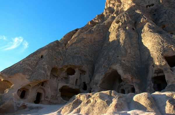
But that’s not what makes them one of Turkey’s largest tourist attractions.  The strange and enchanting landscape created through volcanic activity and natural erosion – combined with the monasteries, churches, and dwellings carved into the towering rocks – is what brings over two million visitors to the area every year.

The valleys of Cappadocia, which means “land of the beautiful horses,” were a refuge for early Christians fleeing from oppression and death by Roman soldiers.  When Emperor Constantine “Christianized” Rome and granted religious freedom to Christians, the secluded region became the perfect place for Christians to remove themselves from society and devote themselves to worship.

The rock churches began as dwellings for Christian hermits, and later became larger monasteries after St. Basil (who has born in the region) convinced them that they would better serve the will of God by focusing on a communal life of prayer.

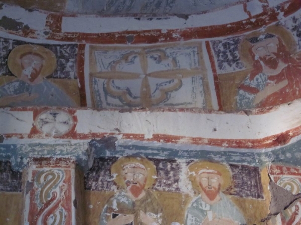
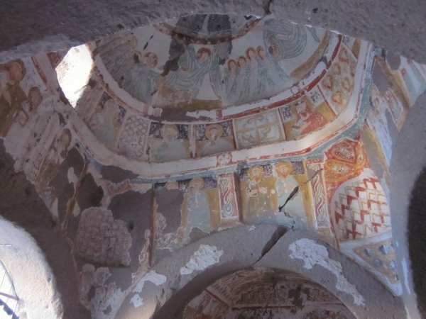
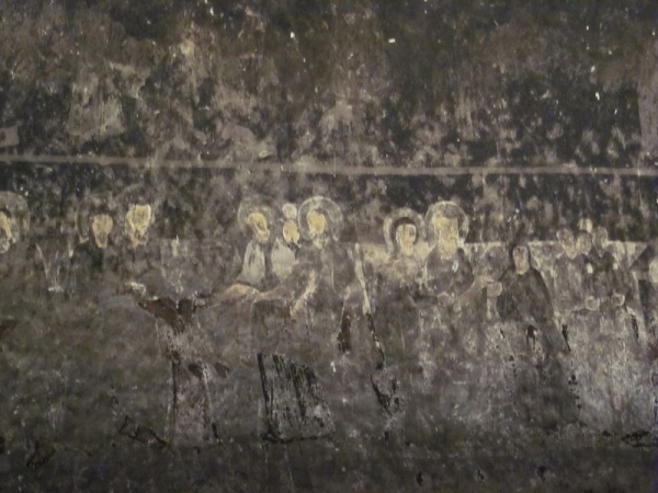
The earliest frescoes in the churches were painted with red dyes directly on the rock.  Later frescoes were painted on a layer of plaster with various coloured dyes, then glazed with the whites of pigeon eggs.  The vast majority of the frescoes now have images with destroyed faces and/or eyes.  Our guide told us that there are several theories about this.  One is that the Greeks that left the area in the population exchange of the 1920’s carefully scratched out the eyes and took them as souvenirs.  This seems unlikely.  The more popular opinion is that the Qur’an prohibits images of humans in temples, so when the churches were later converted into Muslim mosques, the images were purposely destroyed.

Religious frescoes with eyes scratched out

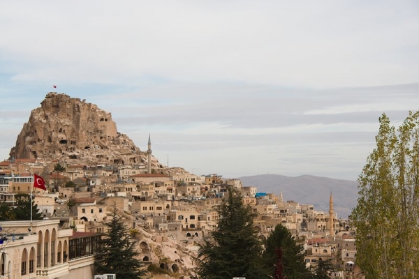
A View of Pigeon Valley & Uchisar Castle

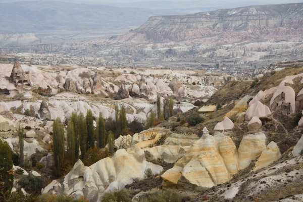
We were promised a stop at the Uchisar Castle and that’s precisely what we got… a stop.  Our van pulled over at a panoramic viewpoint and let us out just long enough to hear some of the above history and snap a few photos of Uchisar Castle and the surrounding Pigeon valley (so named because pigeons were so important in the area – they were used to send messages, their egg shells were used in the making of plaster, and the egg whites were used as a protective glaze for the painted frescoes).

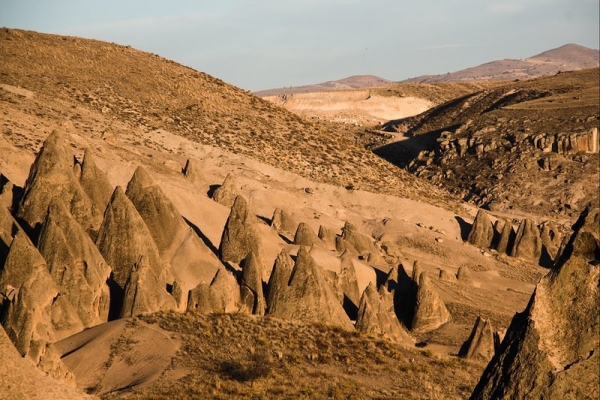
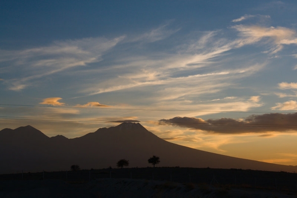
One of the volcanoes that worked to create the surreal landscapes of Cappadocia

Uchisar Castle

Pigeon Valley

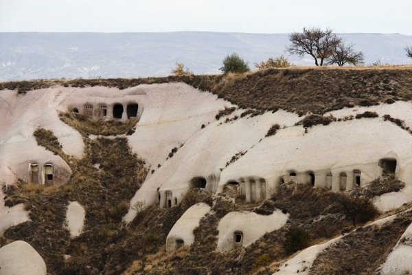
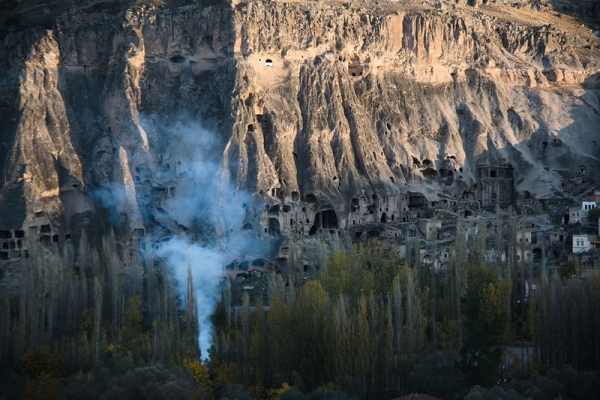
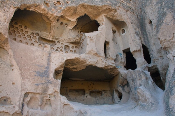
Dwellings and churches carved into the rocks

Derinkuyu Underground City

This is where the tour got good.  Derinkuyu is the largest of about 40 underground cities in Cappadocia.  It was first built by the Phrygians between the 8th and 7th century BC, then enlarged by the Byzantines between the 5th and 10th century AD.

Derinkuyu

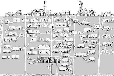
Derinkuyu Map

It extends 8 levels (or 85 m) under the earth (apparently there are possibly 3 more levels yet to be excavated).  There are something like 600 outside doors that lead to the city from surface dwellings.  It was never a permanent dwelling, but was used as a hide-out for local populations when invading armies arrived.  Between 20,000 – 50,000 people and their domestic animals could live in the city, and it was connected by tunnel to another underground city 10 km away.

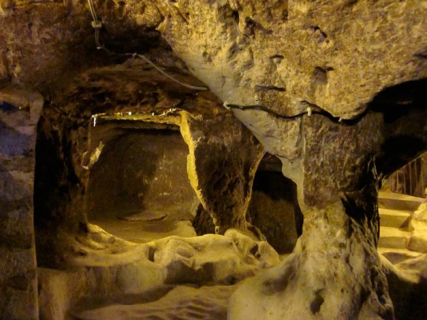
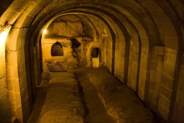
The rooms consisted of churches, stables, kitchens, storage rooms, wineries, cellars, refectories, and living spaces.  On the second floor there is a large room with a barrel vaulted ceiling that is unique to the underground cities in the area.  It was used as a missionary school.  On the bottom floor, there is a crucifix-shaped church.  There are chimneys, ventilation holes, and niches in the walls for oil lamps.  Only about 20% of the city is open to the public, but trust me… it’s enough to get a feel for how huge of a structure it actually is.

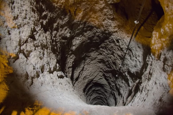
In the event of an attack on the city itself, doors could quickly be sealed with large round stones.  Traps were built into the design, including covered holes in the floor and holes in the ceiling that spears could be thrown through.  The city had numerous wells, many of which did not have surface access to prevent poisoning from above.

Well with surface access. Used as a concealed ventilation shaft.

I expected it to be musty and hard to breathe so far underground, but the city’s 15,000 ventilation ducts do a good job of keeping the air fresh.

Underground rooms

If you want to go on your own: Derinkuyu Underground City is located in the town of the same name, Derinkuyu.  It is about 40 km from Göreme.  Admission is 15 lira/person.  Bring a jacket – it’s can be quite chilly underground, even on a hot summer day.  Not recommended for people with asthma, heart conditions, or claustrophobia.

Lunch & Hiking in the Ihlara Valley

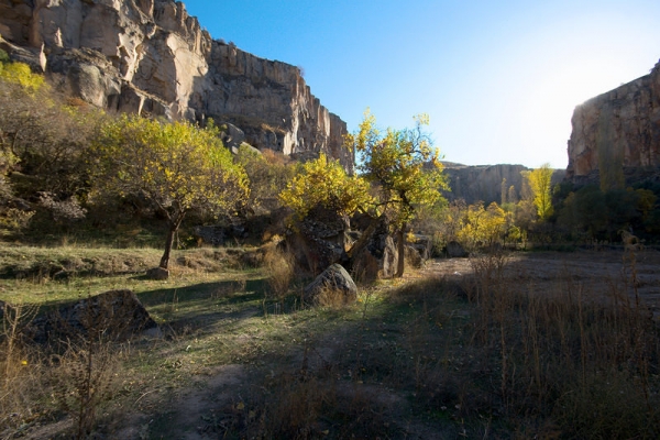
Ihlara Valley is the longest and deepest gorge (1oo m) in Cappadocia and home to some of the oldest rock-cut churches in the area.

Ihlara Valley

We stopped in a village in the valley for lunch.  Lunch was large, but forgettable… it included bread with honey and tomato tapenade, lentil soup, a main dish, rice, salad, and an orange.

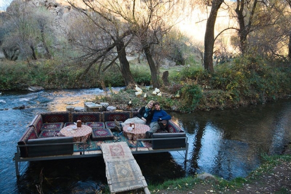
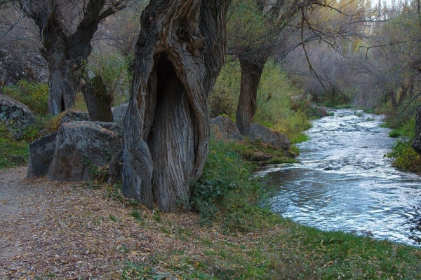
After the meal, we drove to the second of four entrances of the 14 km long valley.  We descended over 300 steps to the valley floor and hiked about 4 km along the river.  Here we saw more churches and dwellings, but mostly took in the magical lighting and vibrant autumn colours around us.

Frescoes in church

Break time!

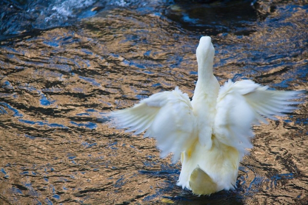
Duck stretching its wings in the river

Hiking along the valley floor

If you want to go on your own:  Hiking the valley is easy, but getting there is hard.  From the best of my research, it seems you can get to the valley from Göreme (120 km) via public transportation, but it will take you 2-3 bus transfers and the better part of a day.  There is an entrance gate to get into the valley (at least the portion we hiked).  Admission:  8 lira/person.

Selime Monastery

At the end of the Ihlara Valley towers the Selime Monastery in Selime village.  The Selime Monastery was carved by monks in the 13th century and is the largest in the Cappadocia region.

Selime Monastery

Fresco

View from monastery

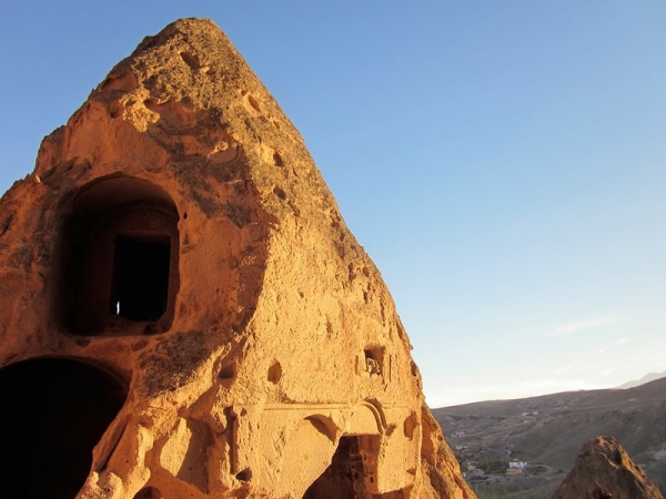
Detail of building, including pigeon holes

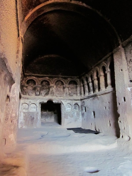
Interior of church

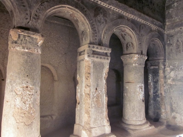
Impressive interior design

For all you Star Wars fans out there, the surrounding area was used for some of the Sand People scenes in the original movie (only the scenery was filmed, the actual action was shot in Tunisia).

Sand People scenery

If you want to go on your own: Selime Monastery is located in Selime village.  The only way to explore the monastery is through a fairly steep climb up the rocks.  Bring good shoes and consider avoiding it in rainy weather when the rocks can be slick (if it’s raining when you go on the tour, they don’t allow you to climb the rocks).  Entrance:  8 lira/person.

So Was the Tour Worth It?

As with all tours, we felt rushed… we had almost enough time at Derinkuyu, but were definitely rushed through Selime monastery.  It would have been nice to see more of Ihlara valley, though we wouldn’t have had enough daylight hours to really make that happen anyways.  If the tour had left a little earlier (we were picked up at 9:30 am), we could have had more daylight hours for hiking.  As it was, we were back at our hostel by 5:30 pm.  Note: Due to daylight savings time, the sun rises at about 6:00 am and sets at about 4:30 pm in early November.

Though we were rushed, we got lots of good information from our guide.

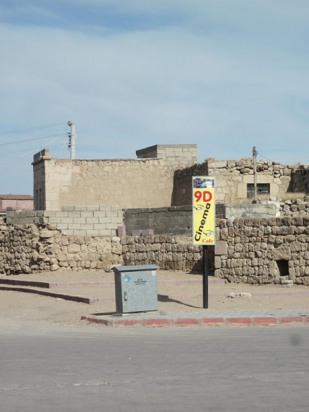
9D Cinema?!?!?! This is something we would have investigated had we had the time

There is really no information at any of the sites, so we learned a lot more from our guide than we would have got exploring on our own.  As I mentioned, the tour cost 80 lira/person.  We would have spent 31 lira/person on entrance fees alone.  Factoring in lunch and transportation, we probably couldn’t have done it much cheaper ourselves. And, it certainly made it easy to see the more distant Cappadocia highlights.  The group size was reasonable (about 10 people).  We were happy with our experience and would recommend the tour to others.

View from our rest stop on the way home.

By , December 26, 2012 3:33 am

Travelling around the world, we have definitely encountered our fair share of street animals.  All across Central America and in the villages of Bulgaria, we met hundreds (if not thousands) of dogs and cats that live on the street.  Most of them were skinny (often with ribs showing) but happy.  They found their meals in garbage cans, street gutters, market floors and from the odd caring person that would put out food for them.  They weren’t always loved by the people, but they were tolerated.  And they were friendly.

In Istanbul, it took us only a few hours to notice the street animal population was a lot bigger than any other we had experienced.  Not bigger as in more of them; bigger as in FAT.  Really fat.  The cats are fat.  The dogs are fat.  There were no ribs to be seen here.  And they don’t get that way from scavenging.  We’ve seen taxi drivers share portions of their lunch with them (I’m not talking just the bones here – they saved whole chunks of meat) and people generously sharing a loaf of bread with them.

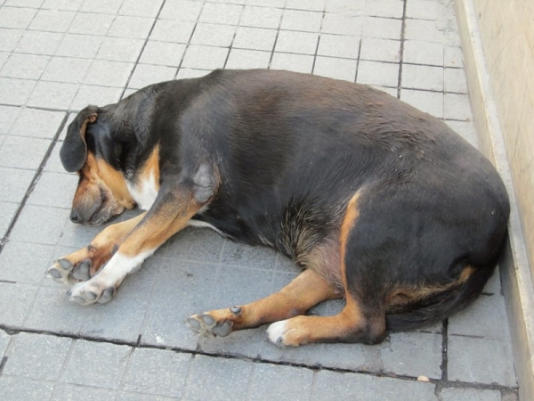
Meet Pig Dog… getting this fat takes a WHOLE LOT of bread (our Turkish coffee fortune predicted her appearance in our lives… now where’s the giant gerbil?)

If the pudgy pooches and flabby felines aren’t testament enough to Istanbul’s love for its homeless creatures, check this out:

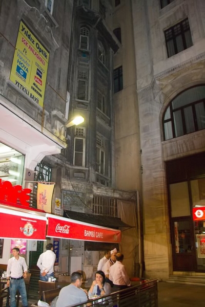
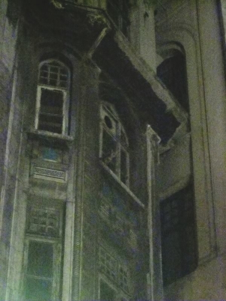
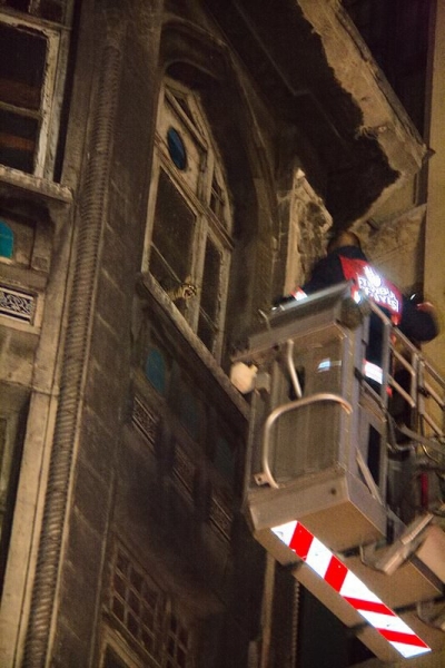
Walking the streets of Istanbul at night, we hear a cat crying – it’s stuck on the 4th floor of an abandoned building (see it’s glowing eyes?) and is terrified

Poor thing!

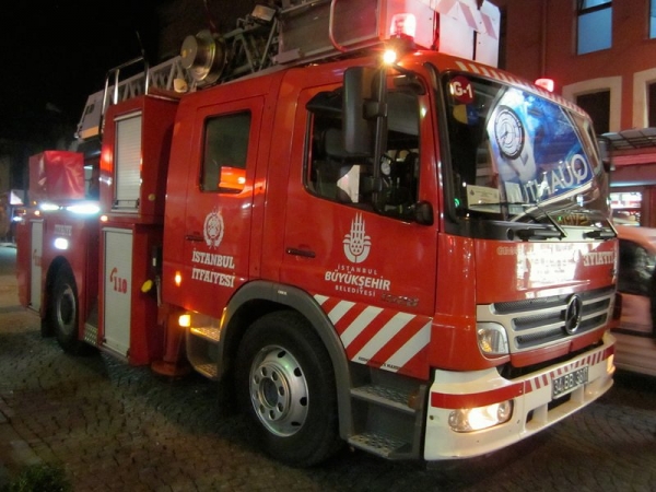
Fire Department to the rescue!

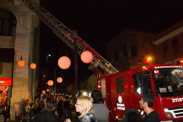
A crowd quickly gathers

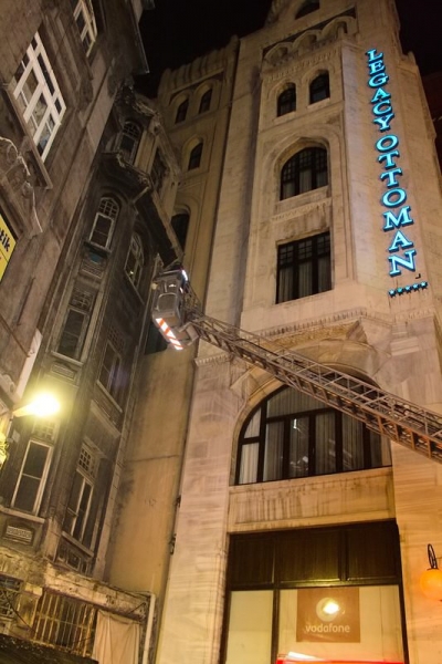
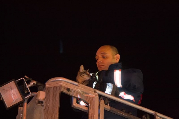
The rescue

The rescue

Safe and sound.  Talk about love!

By , December 19, 2012 12:04 pm

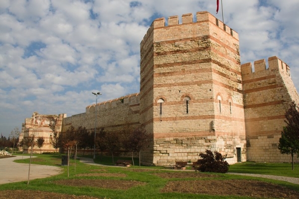
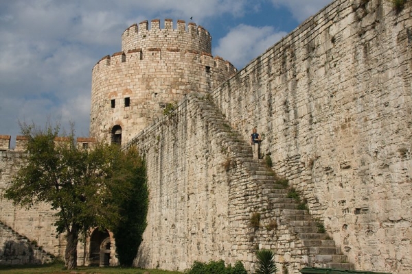
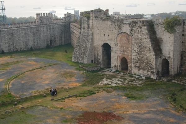
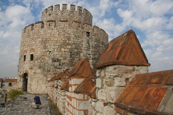
On a day where we saw hundreds of tourists queued up to enter Hagia Sophia and Topkapi Palace, we nearly had Yedikule Fortress to ourselves.  The complex was original the ceremonious “Golden Gate” used especially for the triumphal entry of the emperor into the capital city. Later, during the Ottoman era, it was expanded and served as treasury, archive, and state prison.

It’s easy enough to get to (if you don’t mind a little walking), though you might have to search a little for a tourist map that includes this part of the city.  We simply set out from our hostel near the Blue Mosque in Sultanahmet, walked to the coast, and followed the coast line to the fortress.

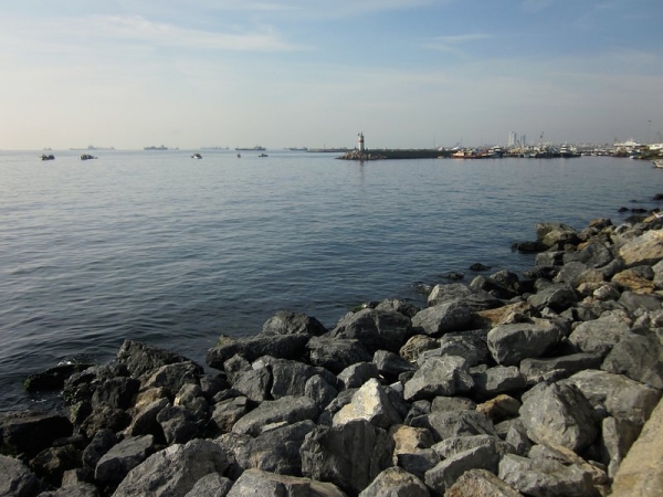
Beautiful walk along coast

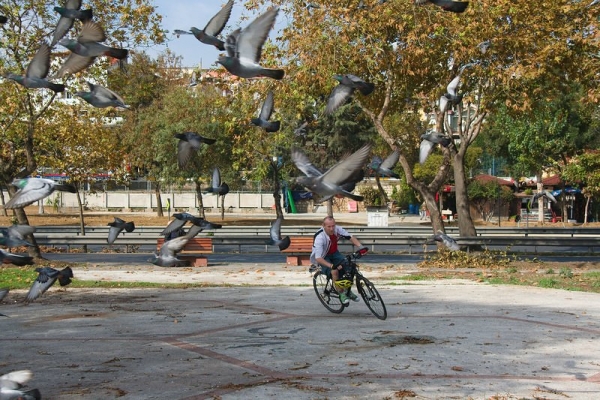
Our friend, Trevor, scaring pigeons for an action photo

Admission is 10 lira ($5.50 CAD) and it takes about an hour to explore the whole thing.  There are no guard railings, so if you have a fear of heights you might want to avoid climbing the walls.

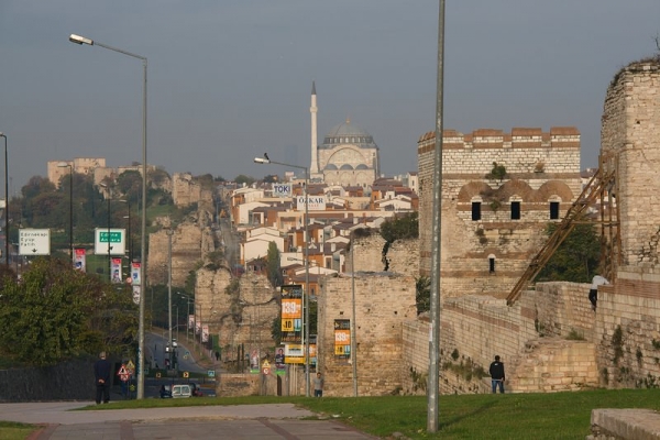
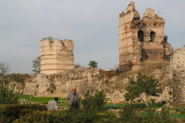
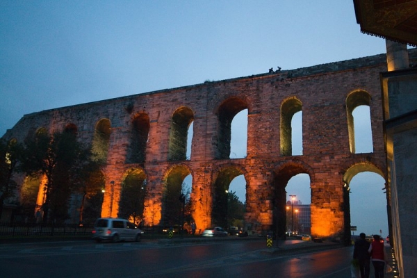
After the fortress, we carried on walking along the ancient Byzantine walls and eventually turned back towards our hostel passing by the Aqueduct.

Here are our photos from the day:

Yedikule Fortress

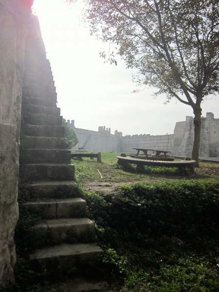
Fortress… climbing these stairs is the only way to get to the top of the walls

Fortress & courtyard

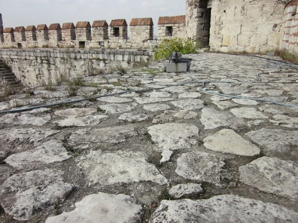
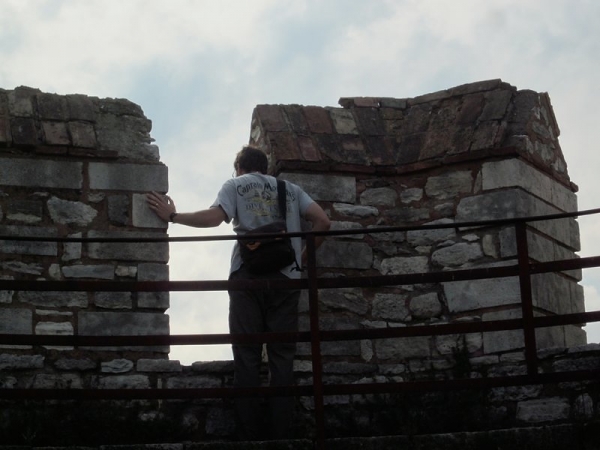
On walls of fortress

Mike takes a photo of me taking a photo from fortress wall

The photo I was taking

Staircase in courtyard

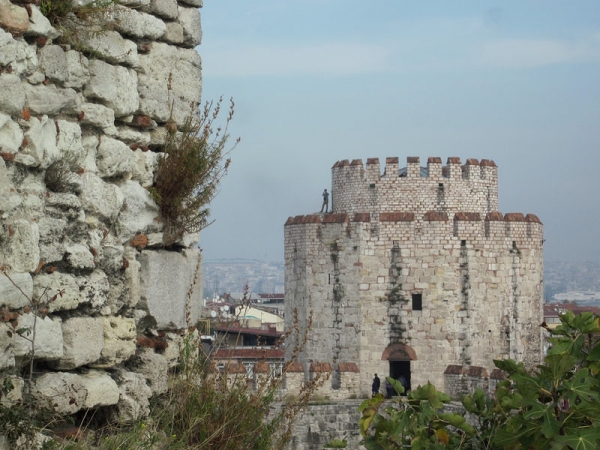
Tower

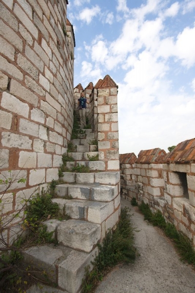
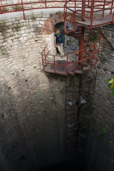
Inside tower and a sketchy staircase

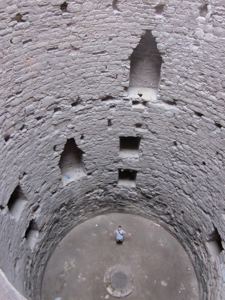
Looking down from tower

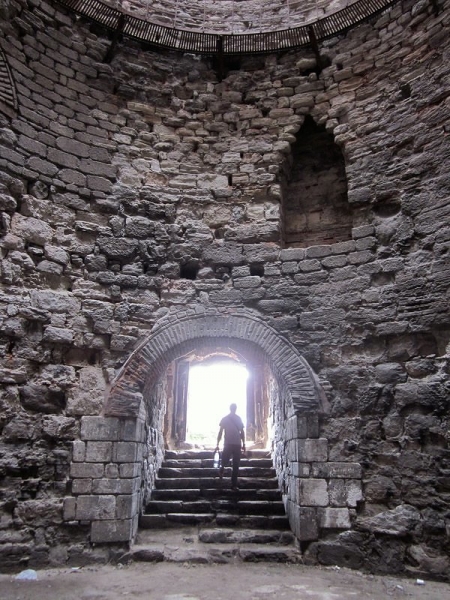
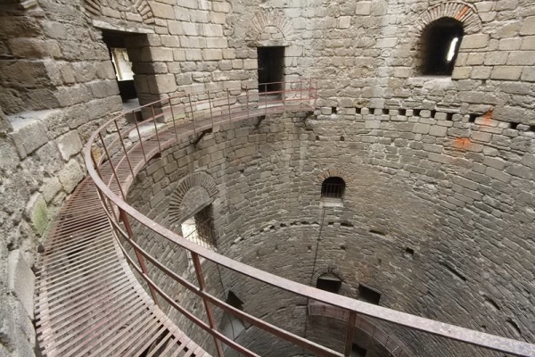
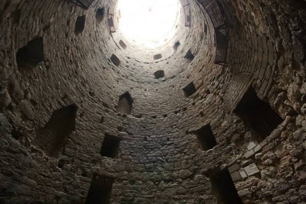
Inside tower

Inside of tower

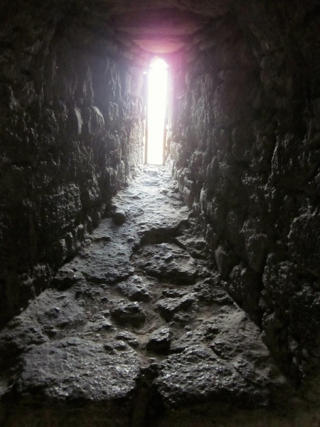
Arrow slit

Tower

Mike, imagining what it’s like to be held prisoner in one of the towers

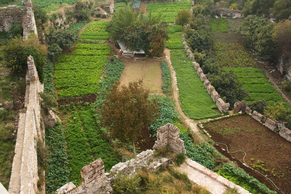
Gardens near Byzantine walls

Walking along the Byzantine city walls, from Yedikule fortress

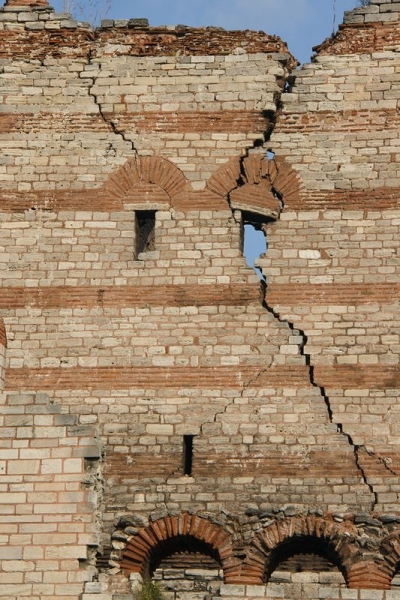
Byzantine city walls

Byzantine city walls

Valens aqueduct, on our return walk